
The Hardangervidda National Park

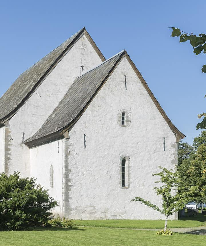
Kinsarvik Church
Mountaineering, accommodation.
The Hardangervidda National Park lies just east of Bergen in the centre of southern Norway, and its enormous, raised plateau offers incredible scenery, countless outdoor adventures and a home for Europe’s biggest population of Reindeer .
Norway’s largest national park is comfortably one of its most diverse. Whether you’re looking for a place to hike , fish or simply a stunning wilderness to explore, Hardangervidda is - as the renowned polar explorers Roald Amundsen and Fridtjof Nansen would attest - as close to a polar expedition as you’re likely to come.
Press here to find cheap tours & packages in Norway
Bearings can be gotten from Hårteigen peak in the centre of Hardangervidda, which acts as a significant signpost and can be seen from almost everywhere on the plateau. From the titanic spectacle of the Vøringsfossen waterfall to a calming stroll around the Kinsarvik Church, to visit here is to see some of Norway at its very best. Here are a few hints and tips for your trip to Hardangervidda…
Måbødalen
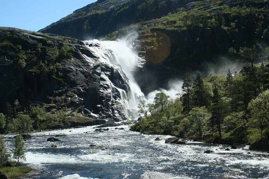
An adventurous few days in Hardangervidda wouldn’t be complete without a visit to the Måbødalen Valley . Alongside a surprising array of plant life, you can see the mighty Vøringsfossen waterfall, and stand in awe as the water plummets down from a height of more than 145 meters.
Vøringsfossen is one of Norway's best-known tourist destinations for a reason, so don’t miss out! Renovations are currently underway to make the entire spectacle a little more accessible, including the restoration of a number of tracks and trails between the different viewing points. Completion is expected in 2020, but don’t let that put you off visiting sooner.
Set against a backdrop of impressive mountain vistas and harbouring a unique history, Kinsarvik Church isn’t your everyday religious building. Inside are a number of medieval treasures, both artistic and Christian, dating back to as early as the 11 th century.
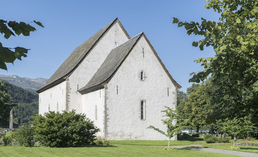
These include a number of 13th-century paintings which were recently uncovered underneath the plaster of the church’s internal walls. Admission is free, so don’t miss the chance to spend a couple of hours wandering through Norway’s long forgotten past.
As with most of Norway’s wild outdoors, a fantastic way to discover Hardangervidda is to embark on a hike on some of its many tracks and trails. A popular trail is to go from the above Kinsarvik to Stavali, Husedalen, or from Finse to Blåisen. It’s always recommended to plan ahead to an extent, and it is well worth purchasing a detailed map of the area from the Norwegian Trekking Association , a local bookshop or tourist information offices. There are countless routes you can take, so research ahead of time to discover which best suits your ability and what you want to see.
- Check out these tips for hiking in Norway
- Press here to find a selection of nature tours in Norway
Hardangervidda is home to several spectacular peaks. The highest three are Hallingskarvet (1,933m) Gaustatoppen (1,883m) and the glacier of Hardangerjøkulen (1,876m), and all are scalable with enough preparation, depending on the weather of course!
Plenty of keen fishermen visit Hardangervidda every year to take advantage of the healthy trout stocks in the majority of the National Park’s waters. Highly recommended are the narrow inlets of the Sørfjord, and if you don’t have any luck then a trip to the Hardangervidda Nature Centre will bring you face to face with many of the species that call the park home. A non-fishing way to appreciate Hardangervidda’s pristine waters is to take a cruise on Lake Møsvatn, which rests at over 900m above sea level.
Hardangervidda is also home to Norway’s most popular cycling route. Rallarvegen , or Navvies’ Road, traverses almost 100 kilometres across dramatic mountain scenery down to Flåm and the Aurlandsfjord.
Finding accommodation within the national park shouldn’t be too much of a problem. There are a number of hotels, cabins, and lodges, whilst camping is also permitted anywhere inside the park, provided you aren’t in a cultivated field and aren’t within 150 meters of the nearest house or cabin! The same goes for mobile homes and caravans.
What would you do in Hardangervidda? Let us know in the comment section below.
Popular articles
7 Amazing Hikes in Norway
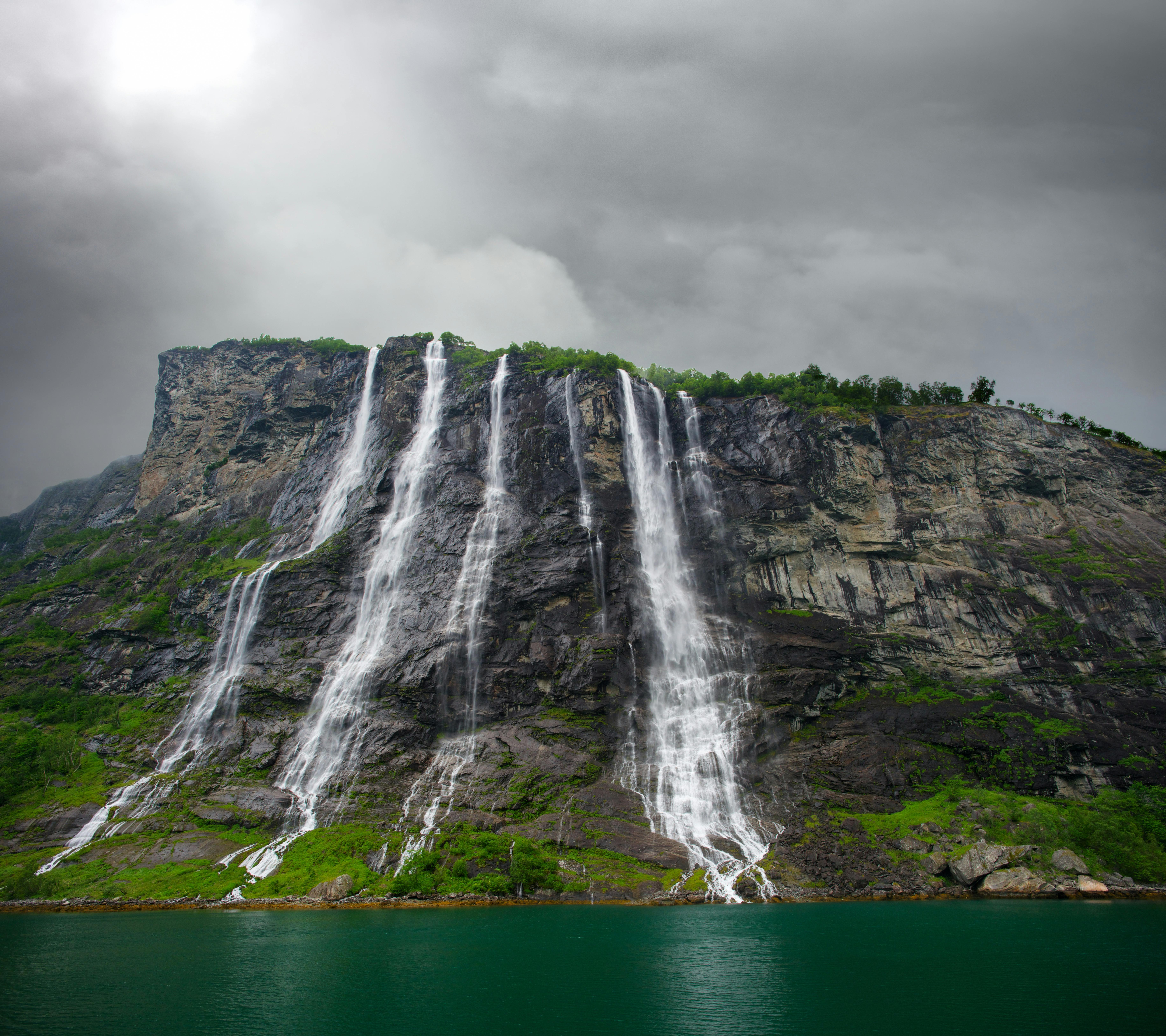
Top 10 Waterfalls in Norway
Top 10 Things To Do In Norway
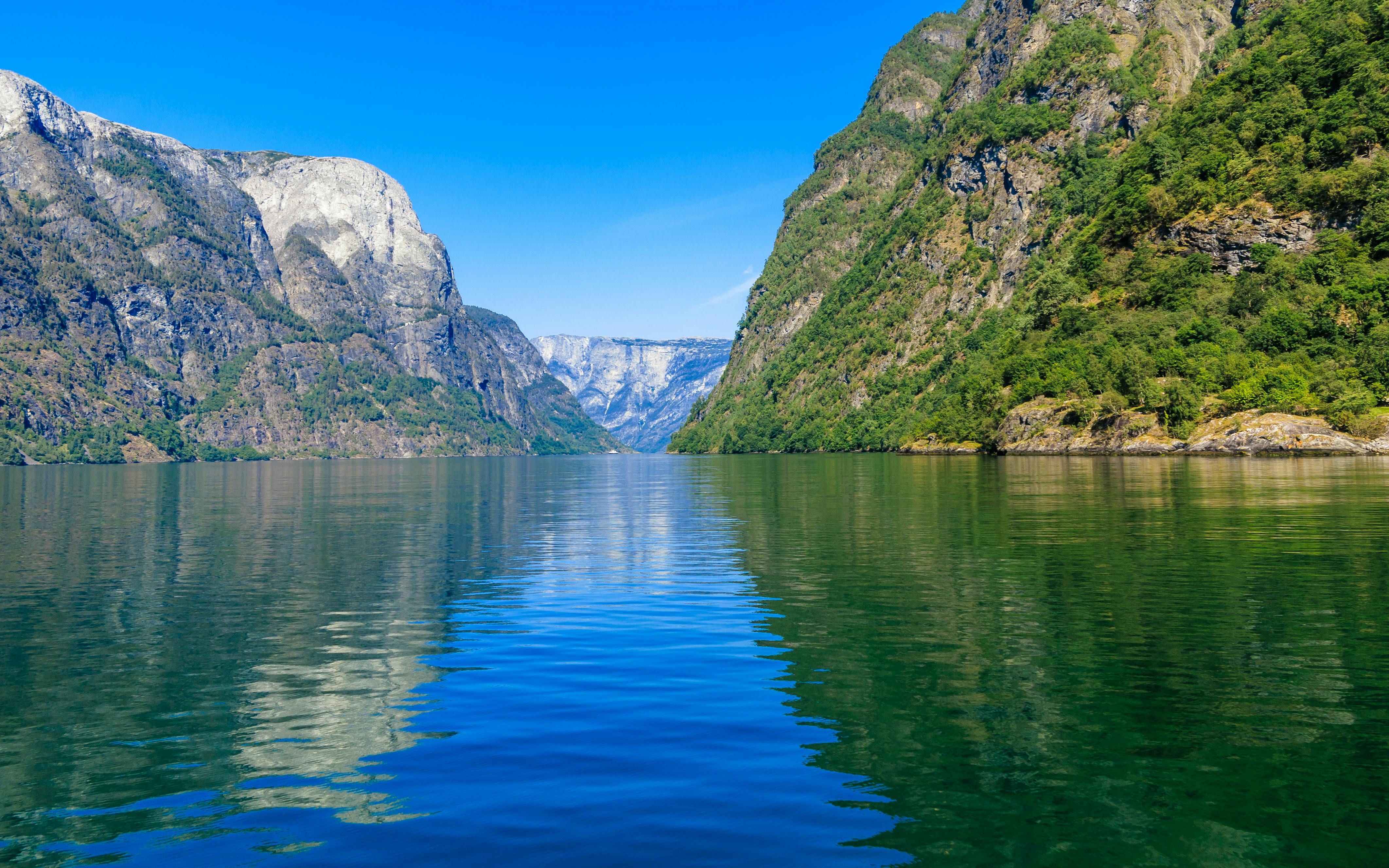
The Ultimate Countdown of Norway's Fjords
8 Things You Didn't Know About Norway
Other interesting articles.
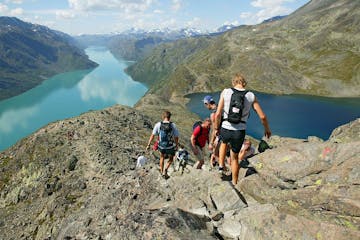
Jotunheimen National Park
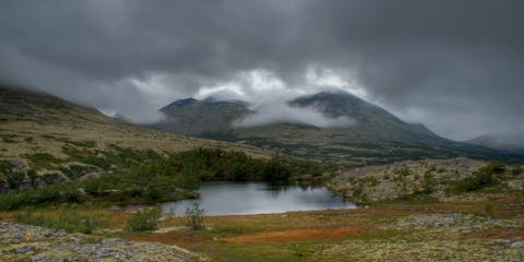
Rondane National Park
Top things to do in norway.
Book your complete trip with the best companies only
Adventure Tours
Fjord Tours
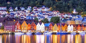
Vacation Packages
Biking Tours
Sightseeing Tours
Lofoten Tours

- language-switcher
- Norwegian Bokmål

Hardangervidda is the largest national park in the Nordic region
Hardangervidda national park center, mountain cruise with m/b fjellvåken.
Hardangervidda is Europe's largest high mountain plateau, covering about 8,600 km2 - almost half a size larger than Finnmarksvidda.
The inner core of Hardangervidda is one of Scandinavia's and Europe's largest national parks, excluding Svalbard.
Read more about Hardangervidda National Park
Visit Hardangervidda Nasjonalparksenter

Explore along Hardangervidda!

EXPLORE Hardangervidda offers a wide range of activities. Here's our guide to Hardangervidda.

CAR HOLIDAY Planning your road trip? See our best tips along the National Park route.

BIKE See our suggestions for bike tours along the National Park route.

HIKING Choose from easy and short trips, mountain hikes, day trips, summit treks, and scenic tours.

FISHING Information about fishing along Hardangervidda.

ATTRACTIONS Museums and attractions along the National Park route.
Explore Hardangervidda

Activities on Vierli
Bring your family or group of friends and visit Vierli at the top of Rauland! Here are a number of activities and opportunities in the summer season: Vierli Kafeteria with lunch and dinner dishes, coffee and cak...
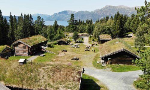
Telemarkstunet
Telemarkstunet at the Raulandsakademiet is a pleasant yard on Rauland consisting of old houses and a number of activities throughout the year: Craft exhibition and market Second-hand sales and summer café Woodc...
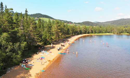
Enjoy Fagersand – a beach pearl and a popular hiking and recreation area by Lognvikvatn below Austbø Hotell! Here there are prepared paths where you can walk in dry shoes over the marshy areas down to the beach...
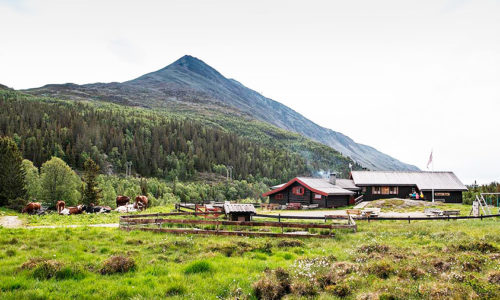
Selstali Seter
From FV37 a little beyond Krokan Turisthytte you can turn off towards Selstali Seter, in scenic surroundings at the foot of Gaustatoppen. At Selstali Seter, the children can take part in milking the cows, cuddle...
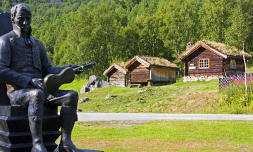
Myllarheimen, Arabygdi
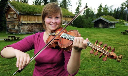
Kunst & Kultur – 2 dager (Engelsk)
Experience a mix of traditional and modern Telemark culture on this car holiday along the National Park route. A perfect weekend trip for those interested in art and culture! Highlights: Visit the largest preser...
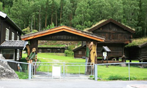
Tinn Museum (Engelsk)
Tinn Museum is a rural museum with houses dating back to before the Black Death and onwards. The oldest building, a farmhouse, was constructed before 1350. Tinn Museum is a fantastic place to explore and a museu...
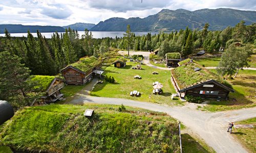
Telemarkstunet (Engelsk)
Telemarkstunet is known for its summer activities. The yard is open from July to August. Telemarkstunet is open from 11am to 4pm. Open every day in the summer season. Telemarkstunet is a collection of replicas o...
Instagram #hardangervidda

Attractions
Aktiviteter

Overnatting?
Hardangervidda

- 1.1 History
- 1.2 Landscape
- 1.3 Flora and fauna
- 1.4 Climate
- 2.3 By train
- 3 Fees and permits
- 4.2 On foot
- 5.1 East: Geilo and Uvdal
- 5.2 South: Rjukan, Rauland, Haukelifjell and Røldal
- 5.3 West: Hardanger with Odda, Ullensvang and Eidfjord
- 5.4 North: rv 7 over Hardangervidda
- 8.1 East: Geilo and Uvdal
- 8.2 South: Rjukan, Rauland, Haukelifjell and Røldal
- 8.3 West: Hardanger with Odda, Ullensvang and Eidfjord
- 8.4 North: rv 7 over Hardangervidda
- 10.1.1 East: Geilo and Uvdal
- 10.1.2 South: Rjukan, Rauland, Haukelifjell and Røldal
- 10.1.3 West: Hardanger with Odda, Ullensvang and Eidfjord
- 10.1.4 North: rv 7 over Hardangervidda
- 10.2.1 East: Geilo and Uvdal
- 10.2.2 South: Rjukan, Rauland, Haukelifjell and Røldal
- 10.2.3 West: Hardanger with Odda, Ullensvang and Eidfjord
- 10.2.4 North: Rv 7 over Hardangervidda
- 10.3 Backcountry
- 11 Stay safe
Hardangervidda National Park ( Norwegian : Hardangervidda nasjonalpark ) is a national park in the counties of Telemark , Buskerud and Hordaland in Norway . It is the largest national park in Norway proper, spanning half the Hardangervidda, which is the largest highland plateau in Northern Europe. The park protects Europe's largest wild reindeer herds. Along with Jotunheimen and other mountain areas it separates East and West Norway.
Understand [ edit ]

Vidda means wide, open plateau in Norwegian. The endless highland plateau of Hardangervidda is about 8,500 km², which is a fifth of the size of the Netherlands and three times the size of Luxembourg. The national park covers 3,422 km² (1,321 square miles). Hardangervidda is famous for the large herds of wild reindeer. An extensive net of hiking paths and a thousand lakes and rivers cover the vast highland plateau.
- Hardangervidda at ut.no
History [ edit ]
People probably came to Hardangervidda at the same time as the reindeer, after the last Ice Age. About 250 Stone Age sites have been found, the oldest dating from 6300 BC. Finds from excavations of Stone Age sites show that the people hunted reindeer and ptarmigan. Moose and trout bones were also found.
Today, the natural resources on Hardangervidda are very valuable for the surrounding villages.
Hardangervidda National Park was established in 1981. It differs from other Norwegian national parks because it has been used a great deal by local people, has many buildings and much privately owned land. Consequently, people use motorised vehicles to harvest resources like fish and game, to upkeep buildings and to run lodges and huts for hikers and skiers. Large flocks of sheep graze Hardangervidda in summer. Locals and tourists come to Hardangervidda to fish and hunt, as a source of food or recreation.
Landscape [ edit ]
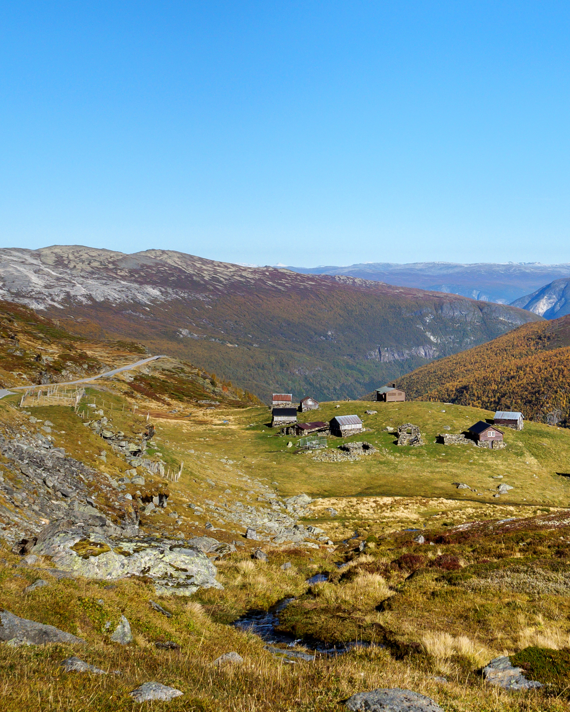
Hardangervidda is a barren, treeless mountain plateau at 1,100–1,200 m (3,600–3,900 ft) in elevation, with lakes, moors, rivers and streams. This kind of open, relatively even landscape is known as vidde in Norwegian. There are significant differences between the west side, which is dominated by rocky terrain and expanses of bare rock, and the east side, which is much flatter and more heavily vegetated. The prominent peak of Hårteigen (1,690 m/5,545 ft) is visible across much of the plateau.
About 550 million years ago, the plateau was submerged. Gradually a sheet of rock drifted over the seabed, was compressed, folded and rose from the sea. What is now Western Norway rose the most, and greater erosion created deeper valleys, fjords and steeper mountains than in the east. Glaciers and melting ice at the end of the last ice age chiselled out the landscape we see today.
Flora and fauna [ edit ]

The whole of the Hardangervidda is above the tree line. Its alpine climate enables the presence of many species of arctic animals and plants further south than anywhere else in Europe.
Norway is, to all extents and purposes, the only country in Europe with remaining vestigial populations of the original wild mountain reindeer. Wild reindeer need Hardangervidda. The 9,000 wild reindeer (2009) here make up more than a quarter of all the wild reindeer in Norway. The large, continuous unspoiled area makes Hardangervidda particularly attractive to them. As the herds migrate between seasonal pastures and calving areas over the course of the year, they need a wide area. Wild reindeer are at their most vulnerable on the winter pasture and in the calving season in May. You might think it is easy to spot one of Hardangerviddas 9,000 wild reindeer, but that is not the case. They are shy. If you see a herd, consider yourself very lucky. Don’t try to follow them, but stand quietly and enjoy this rare sight. It is particularly important not to disturb wild reindeer during calving season.
The flat landscape with its numerous lakes and wetlands distinguishes Hardangervidda from other mountainous areas in southern Norway. Trout is the most common fish. A permit is needed to fish in rivers and lakes.
The largest populations of many kinds of ducks and other wetland species in southern Norway, live here. The breeding populations of black-throated divers, scaups, velvet scoters, common scoters, dotterels, Temminck’s stints, great snipes and shore larks are particularly valuable.
Climate [ edit ]

The climate is considerably wetter on the west side than on the east. At any time of year, be prepared for sudden changes. The weather in Hardangervidda National Park can change very rapidly from sunny and warm to cold and rainy or even snowy, so it's important to bring along extra layers of clothing, like wool underwear and wind- and waterproof outerwear. For most people, late spring, summer and fall are the best times of year to visit Hardangervidda. Easter skiing across Hardangervidda is also popular, but is recommended for experienced skiers only. The winter storms can be challenging even for polar explorers like Amundsen. Many of the villages and cities surrounding Hardangervidda are popular all-year destinations.
- Summer : June to August. Daytime temperatures range from 10 to 20°C and occasionally over 20°C in lower elevations. Nights are usually cool (between 10 and 0°C), but temperatures rarely drop below freezing at higher elevations. In general, there is no snow on Hardangervidda in summertime. In June though, there might be some areas still left snow covered.
- Spring and Fall : May and September. Daytime temperatures range from 0 to 15°C with 0 to −10°C in the night. A lot of the plateau remains snow covered in May, and early June there will still be some left at higher elevations.
- Winter : October to April. Temperatures often range from 5 to −15°C throughout the day, but temperatures as low as −30 °C can occur. In the nighttime, temperatures are usually below zero. Snowfall is highly variable. Sometimes the ground is snow-covered from October to May, other years the snow might not cover most of Hardangervidda before December.
Get in [ edit ]

There are several gateways to Hardangervidda National Park. Gateway cities and villages are Odda and Eidfjord in the Hardanger region and the mountain destinations Geilo , Uvdal , Rjukan , Rauland , Haukeli , Haukelifjell and Røldal .
By air [ edit ]
Hardangervidda is a 2–3 hours drive from the major airports. The closest major airports are Bergen Airport [dead link] (2½ hours drive to Eidfjord), Oslo Airport Gardermoen (3½ hours drive to Rjukan), Oslo Airport Torp in Sandefjord (3 hours drive to Rauland), Kristiansand Airport (3 hours drive to Haukeli) and Haugesund Airport [dead link] (2 hours drive to Odda).
By car [ edit ]

From Oslo to Hardangervidda by car 1) E 18 from Oslo to Drammen. From Drammen, follow E134 to Notodden. From here you can follow rv. 361 and rv. 37 to Rjukan, or continue on E134 to Åmot in Telemark and then take rv. 37 to Rauland. 2) E18 from Oslo to Sandvika. From Sandvika you take E16 to Hønefoss and from Hønefoss you follow rv. 7 to Geilo.
From Bergen to Hardangervidda by car E16 to Voss and then rv. 13 to Granvin. You then continue on rv. 7 to Eidfjord and then drive to Geilo. You can also start exploring Hardangervidda from Ulvik and Kinsarvik/Ullensvang.
You can drive to the gateways and see the mountain plateau from your car, but there are no public roads for driving inside the national park border.
By train [ edit ]

From Oslo to Hardangervidda by train You can take the train from Oslo to Bø in Telemark. From there you can catch "Haukeliekspressen" to Rauland. You can also take the Bergen Railway from Oslo to a number of places that are great starting points for exploring the northern Hardangervidda – Myrdal, Hallingskeid, Finse , Haugastøl , Ustaoset and Geilo.
From Bergen to Hardangervidda by train The Bergen Railway stops at number of places that are great starting points for exploring Hardangervidda – Myrdal, Hallingskeid, Finse, Haugastøl, Ustaoset and Geilo. You can also take the train to Voss and a bus from Voss to Eidfjord.
For train timetables, see [1]
By bus [ edit ]
From Oslo to Hardangervidda by bus Take "Haukeliekspressen" to Haukeli or take the bus to Geilo or Rjukan – both good starting points for exploring Hardangervidda.
From Bergen to Hardangervidda by bus Take the bus from Bergen to Voss. From Voss catch a bus to Eidfjord.
For bus timetables, see [2] [dead link]
Fees and permits [ edit ]
There are no public roads for driving inside the national park border, and no entrance fees to get in to the national park .
You need to buy permits to go fishing or hunting on Hardangervidda. Children under 16 years fish for free. Because more than half of Hardangervidda is owned by private land owners, there is no common fishing permit for all the lakes on Hardangervidda. But there are some common fishing permits for larger areas, like the Hardangervidda west, the Hardangervidda east, Vinjes part of Hardangervidda, Ullensvang, and Møsvatn permits. A 24-hour fishing permit ranges from 50 to 70kr, and a week permit from 100 to 300kr (2010). You can buy the permits at the tourist information offices, cabins, hotels and lodges in the area close to your favourite lake, or go to [3] (this site is in Norwegian).
Get around [ edit ]

Driving Hardangervidda National Park Route [dead link] is a great way to experience the scenery around Hardangervidda. Drive further, from fjell to fjord on E 134 over Haukelifjell and continue on rv 13 to Hardanger with Odda, Eidfjord and further on rv 7 over Hardangervidda to Geilo, along the national tourist route . This must be the ultimate Hardangervidda driving experience with fjords, Vøringfossen and mountains in 2-3 days.
You can drive to the gateways and see the mountain plateau from your car, but there are no public roads for driving inside the national park border. This is where you can get close to the national park by car:
- Route 7 across Hardangervidda; several convenient stops and branch roads to the national park.
- Route 40 from Nore and Uvdal to Geilo, several stopping places and branch roads to the national park.
- Route 364 to Tinn Austbygd, branch off to Breisetdalen and park at Stegaros or Synken; boat across Mårvatnet from Synken to Mårbu.
- Route 37 to Skinnarbu by Møsvatn and continue on the boat Fjellvåken to the lodge at Mogen.
- E 134 from Haukeli to Jøsendal, several stops and branch roads to the national park.
- The route from Jøsendal to Brimnes, several stops and branch roads to the national park.
On foot [ edit ]
Once you get out of your car and set your feet on the great mountain plains, the best way of getting around is hiking, skiing, cycling and horseback riding. You have to hike some hours to get into the national park, depending on which gateway you choose. Try the extensive network of hiking trails and cabins offered by The Norwegian Trekking Association [4] [dead link] . Cycling is only allowed on a few tractor roads inside the national park, but you can still experience Hardangervidda on bicycle. Try the famous Rallarvegen [5] , or cycling from Rjukan to Kalhovd [6]
See [ edit ]
- 59.815051 8.306748 1 Hardangervidda National Park Centre , Møsvatn, Rjukan , ☏ +47 97074300 , [email protected] . June, July, August: every day 10:00-16:00 . An award winning permanent, interactive exhibition about the nature at Hardannervidda. It also includes the Wild Reindeer Exhibition, a cinema and the Café Panorama.
East: Geilo and Uvdal [ edit ]
South: rjukan, rauland, haukelifjell and røldal [ edit ].

Austbygde ( 38 km northeast of Rjukan ). Austbygde is a small, charming village with a beautiful rural landscape and great views of lake Tinnsjøen.
Rjukan ( 175 km northwest of Oslo ). In the early 20th century, the Norsk Hydro and the industry arrived and changed life in Vestfjorddalen dramatically. Between 1907 and 1920, the farms of Bøen and Saaheim were transformed into the town of Rjukan. The population increased from 369 to over 9,000 in 20 years. Norsk Hydro commissioned Norway’s leading engineers and architects to design the entire town. Rjukan is home to Vemork, where famous saboteurs destroyed 500 kg of heavy water during World War II. Today, about 3300 people live in the small town, which is applying for UNESCO World Heritage status.
Gaustatoppen ( 15 km from Rjukan ). Gaustatoppen is at 1883 m elevation and is one of Norway's most majestic mountains. You can admire it from a distance on your way to Rjukan or one of the villages nearby. You can also climb it, like 25,000 others do each year. It will take you about 5 hours both ways. You will get your reward on the top, where you can see one fifth of Norway on a sunny day.
Krossobanen ( 2.5 km from Rjukan town centre ). In the depths of the valley, Rjukan is overshadowed by Gaustatoppen throughout the winter. Since 1925 the townsfolk have celebrated the sun's return in March with Solfesten , a lively carnival. Why shouldn’t these sun-starved people enjoy easy access to some winter sun? In 1928, Norsk Hydro granted them their wish, opening the Krossobanen, a 5-minute aerial tramway ride into the mountains. Today, you can ride the “sunshine car” up to Hardangervidda daily all year round, and enjoy the magnificent view of the valley and Gaustatoppen.
West: Hardanger with Odda, Ullensvang and Eidfjord [ edit ]
North: rv 7 over hardangervidda [ edit ], do [ edit ].

- High Mountain Cruise by the M/B Fjellvåken [dead link]
- Hiking, summer and winter
- From one cottage at the mountain plateau to another
- Cross country skiing and kiting
- Climb mountain peaks
- Bird watching, reindeer observation
- Fishing in small mountain lakes (requires fishing license)
- Picking berries (such as cloudberries) and mushrooms
Buy [ edit ]
- Fishing license
- Maps [dead link]
Eat [ edit ]
Drink [ edit ], sleep [ edit ].

Lodging [ edit ]
60.439602 7.78629 1 Fagerheim Fjellstugu ( in the middle of Hardangervidda, next to road 7 ). Has road access throughout the year. 1,170 m, you can gaze across a glittering mountain lake and enjoy fantastic views in all directions – not least towards the impressive Hardangerjøkulen glacier. A restored mountain lodge with pleasant common rooms, a fireplace and bedrooms with a touch of nostalgia. No en suite rooms, and no whirlpool baths! Separate showers for men and women. 20 rooms/55 beds. You will not have to share with people you do not know. If you have a dog, it is welcome to stay in your room. Weekly rentals of brand new luxury apartments with panoramic views of Hardangerjøkulen. Mountain café during the Easter holidays and over the summer. You will be served decent, hearty, well-made food, with no frills. We made good use of what nature has to offer and our meals include trout from the surrounding waters, as well as game, mushrooms and berries from nature's larder. You may not be able to choose from a ten-course menu, but a good filling meal of traditional food. Fully licensed.
Camping [ edit ]
North: rv 7 over hardangervidda [ edit ], backcountry [ edit ], stay safe [ edit ].
Hardangervidda is largely above the treeline and temperatures can drop to zero (0°C) even at mid summer. Drivers should be aware of slippery road in spring and autumn when driving is fine in the lowland. During winter blizzards can make driving challenging and the road is often closed. Hikers must bring map and compass, navigation can be very difficult in fog or stormy weather. Hikers must be prepared for all sorts of weather.
Go next [ edit ]
- Jotunheimen mountains
- Hardanger fjord district
- Flåm , Sognefjord
- Geilo , Hallingdal , Buskerud
- Has custom banner
- Articles with dead external links
- Has map markers
- See listing with no coordinates
- Has routebox
- Usable parks
- Usable articles
- Park articles
- Has Geo parameter
- All destination articles
- Pages with maps
Navigation menu
Hardangervidda nasjonalpark
Bezoek de website
Stuur ons een e-mail
+47 53673400
Hardangervidda National Park is the largest national park in Norway. This vast mountain plateau offers excellent hiking opportunities for both seasoned hikers and recreational hikers.
Bron : Destination Hardanger Fjord AS
Recent bekeken pagina's
Norwegian Scenic Route Hardangervidda
The Norwegian Scenic Route Hardangervidda takes you from the high mountain plateau Hardangervidda, at 1250 meters, to the shore of the Hardangerfjord. A stop at the Vøringsfossen waterfall is a must!
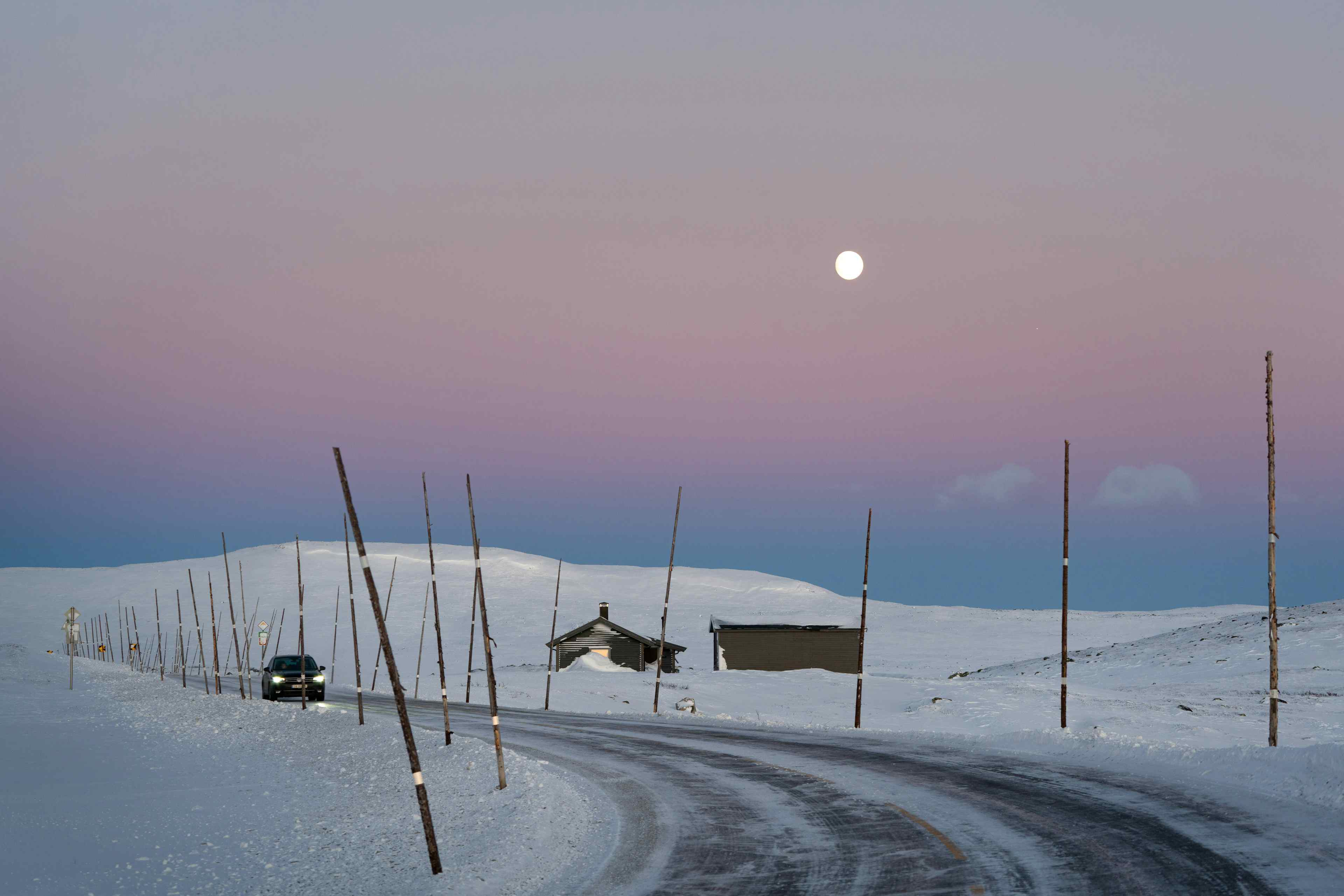
The Norwegian Scenic Routes are 18 selected roads through the most beautiful Norwegian nature. Two of these routes run through Hardanger, the Norwegian Scenic Route Hardanger, and the Norwegian Scenic Route Hardangervidda. The Norwegian Scenic Route Hardangervidda takes you from the high mountain plateau Hardangervidda, at 1250 meters, to the shore of the Hardangerfjord. The 67-kilometer long route runs between Haugastøl and Eidfjord (road 7) and leads partly through the Hardangervidda National Park. The drive offers impressive scenic contrasts, and you should take enough time to enjoy all impressions along the way. The main attraction along the Norwegian Scenic Route Hardangervidda is the Vøringsfossen waterfall. You may add an overnight stay en route - there is a lot more to discover! Along the Norwegian Scenic Routes, you will find excellent rest areas that have been constructed with a focus on the combination of landscape and architecture. The area around the Vøringsfossen waterfall is one of the most spectacular. Here you can experience the impressive waterfall from one of the many viewpoints along the cliff. If you are not afraid of heights, you should also test the bridge over the waterfall canyon. Another way to explore Vøringsfossen up close is the hiking trail in the waterfall valley.
- Hardangervidda 498
- 5785 Vøringsfoss
Where is Norwegian Scenic Route Hardangervidda ?

&Norway
- Scenic routes
- Rocks and cliffs
- Norway’s ABC
Scenic route Hardangervidda in Norway
Scenic route hardangervidda in norway /.
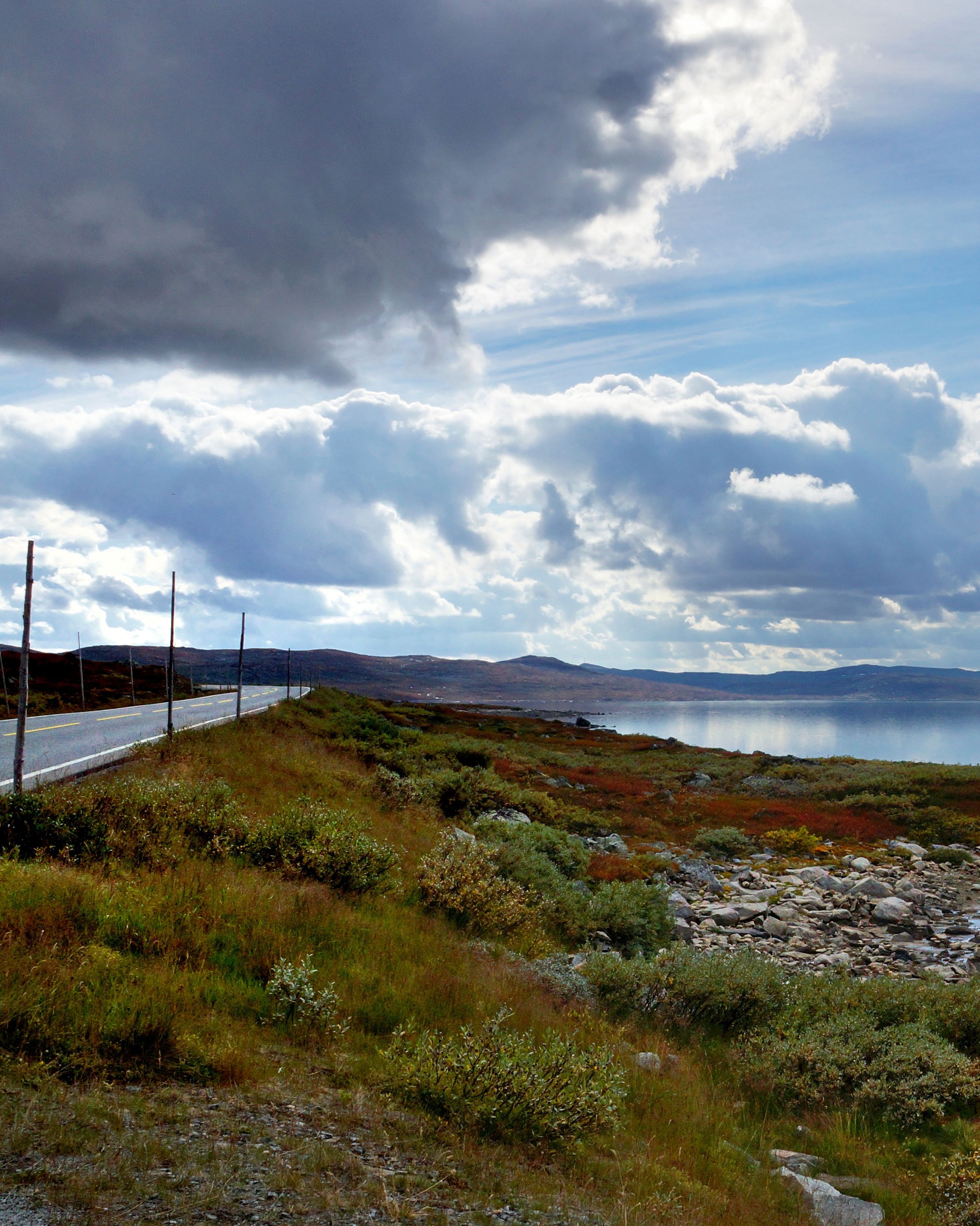
The scenic route Hardangervidda crosses the largest high mountain plateau in Northern Europe. Not only does the route reach 1250 meters above sea level at its highest point, it also offers beautiful valleys, high mountains, waterfalls and views of glaciers and fjords. A tour of Norway is not complete without the scenic route over mountain plateau Hardangervidda.
Where is the route located? /
The Hardangervidda is the highest mountain plateau in Northern Europe and over the plateau lies highway 7. A large part of this road has been declared a tourist route and has been given the name Hardangervidda, after the mountain plateau. Roadtrip Hardangervidda is also located at the national park of the same name and connects the towns of Haugastøl in Viken county and Eidfjord in Vestland county. The provincial border is near the town of Halne.
General information about scenic route Hardangervidda /
The tourist road over the mountain plateau Hardangervidda is 41 miles (67 kilometers) long and runs from Haugastøl to Eidfjord. Along the way you pass vast plateaus, beautiful valleys, mountain lakes Sysenvatnet and Eidfjordvatnet and the famous waterfall Vøringsfossen. You will also see the beautiful and diverse flora and fauna, including special birds and a large population of wild reindeer.
On road maps, the scenic route Hardangervidda can be found under road number 7. The special thing about this highway is not only that it goes over the mountain plateau and is at the highest point at 1250 meters above sea level, but also that it comes close to the waterfall Vøringsfossen and through narrow and steep valley Måbødalen goes. The route also goes through several tunnels, one of which goes around almost 360 degrees.
The route over the largest high mountain plateau in Northern Europe offers a beautiful and varied view;. It is therefore not surprising that the road is one of the most beautiful roads in Norway. In the country there are 18 routes that have been awarded the title National Scenic Route, these are officially the most beautiful routes in Norway . The route Hardangervidda is one of these routes. Nearby is the National Scenic Route Hardangervegen , which can easily be taken along during a tour of Norway. At the end of Eidfjord, continue on highway 7, which turns into highway 13. You will then automatically drive to Kinsarvik, where the National Scenic Route Hardangervegen runs.
What makes the route special? /
The most special thing about the scenic route Hardangervidda is that it goes over the mountain plateau of the same name and gives a completely different view of the Norwegian landscape. The route does not have many sights, but that does not make the road any less beautiful. The area around the road looks different every season and the road is also passable in winter, because this highway is kept free of snow.
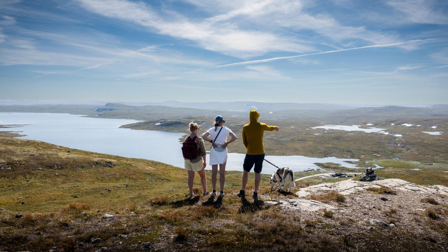
Hardangervidda National Park
Northern europe's largest national park.
Hardangervidda National Park is the largest national park in mainland Norway, it is 3422 km2 and extends beyond the counties of Hordaland, Viken and Telemark, divided into seven municipalities. The national park was established in 1981, and half the area is on private land.
From Geilo, Hardangervidda is easily accessible from several sides. Follow rv 7 west through Geilo to Haugastøl, here you are at the foot of two national parks, Hardangervidda and Hallingskarvet. After Haugastøl you can drive further west to get even higher up on the plateau. You can also drive on fv 40 towards Dagali, both Seterdalen in Dagali and Tuva Turisthytte (summer road) are good starting points for trips into Hardangervidda.
A visit to Hardangervidda National Park is fantastic, but remember that you don't necessarily have to be within the national park boundary to feel and see the greatness of a national park! The entire plateau offers great nature experiences and views.
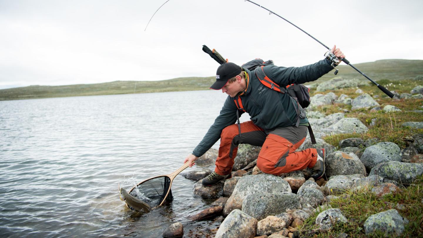
Hiking trips in Hardangervidda National Park
Hardangervidda is amazing in both summer and winter. You can travel freely in all of the national park, but we recommend that you follow the marked paths. DNT's trails takes you to seven serviced and five self-service tourist cabins in the national park. If you are planning a trip from cabin to cabin , we recommend checking opening hours and book accommodation in advance. At the serviced tourist cabins you can buy a delicious home-cooked meal, and the self-service cabins have a rich food store where you can buy food such as crackers and dinner dishes. Everyone can use DNT's cabins. But in cabins without a host, at least one person in the party must be a member of DNT to be able to rent the special DNT key (can be borrowed from Tourist Information Geilo). Whether you're going from cabin to cabin or spending the night in a tent, it's important to take a map and compass with you, and it's important that you know how to use this. Remember that the weather in the mountains can change quickly, there is not mobile coverage everywhere, bring first aid and report where you are going.
Child-friendly trips in Hardangervidda National Park
It is also possible to have shorter day trips in Hardangervidda, and some family-friendly trips starting from the center of Geilo, feel free to take the summer lift for a soft start. For other trips, you need transport by car or public transport.
Tunga Bru is a suspension bridge over Numedalslågen. The walk is easy, it has some short, steep hills but it goes well even for small children. It is approx. 1.5 km from the parking lot to the suspension bridge. It is exciting to walk over the bridge where it swings over the waterfall. When there is a spring flood, the water is high and you can risk getting a shower.
Hotel California is the name of the small cabin at the top of Glitreberget in Dagali. Here you get a 360-degree view of Hardangervidda, Hallingskarvet and Numedal. It is open all year round, you can sit inside where there are tables and benches or you can sit in the sun wall outside. Pictures of other Hotel Californias around the world are hung on the walls inside.
Skjerja is one of the most famous fishing waters in Geilo. From Tuva Turisthytte it is approx. 1 hour walk. Combine a great mountain trip with a fishing trip. If you don't catch fish today, you are guaranteed to be left with a great experience, fresh mountain air and a great view. End the trip with the famous waffles at Tuva.
More hiking suggestions in summer
Tour map of Hardangervidda National Park
Ut.no has an extensive interactive map that gives a good overview of hiking areas, cabins, summer trails, winter trails, cycling trips and more, in and along the entire Hardangervidda. Tour map at ut.no
What to experience on Hardangervidda
Humans have been walking on Hardangervidda for over 8,000 years, and you can see several traces of old roads, fishing facilities, settlements and huts. In recent times, there are many exciting things to experience on Hardangervidda.
Vøringsfossen is one of the most famous waterfalls in Norway. The waterfall is a whopping 182 metres, and plunges from the Hardangervidda plateau into Måbødalen. Here, it is well arranged to both walk over and around the waterfall so that you can see it from all angles. Hardangervidda offers fantastic experiences, from Geilo where the road slowly climbs upwards all the way to the plateau where the road gently bends over the large area downwards to a narrow, steep and winding road down Måbødalen past Vøringsfossen before you suddenly find yourself in the small village of Eidfjord in the heart of the Hardangerfjord.
Rallarvegen has been named Norway's most beautiful bike ride several times. It is not without reason, Rallarvegen is a journey through powerful nature, cultural monuments and history. It is 82 km long and stretches from Haugastøl in the east to Flåm in the west. Whether you cycle Rallarvegen or spend the night at Finse, it is worth a visit Rallar museum . It is located in Eastern trainstall, here you can see pictures and an exhibition about the history of the construction of the railway from 1894-1909.
Halnekongen offers boat transport from Halne Fjellstugu (located at road rv 7) and 13 km in to Hardangervidda. Here you get a fantastic starting point for walks into the national park. The nearest DNT cabins are Heinseter and Rauhelleren, and many people choose to spend the night at these cabins before continuing into the national park or returning to Halne Fjellstugu.
Winter on Hardangervidda in nice weather is one of the most beautiful things you can experience. A snow-covered landscape as far as you can see. It is possible to go snowshoeing and skiing on Hardangervidda in winter. Here you will find marked trails from cabin to cabin, or you can make your own way on mountain skis. See interactive map on ut.no of cross-country tracks and serviced and unserviced cabins on Hardangervidda..

Fishing on Hardangervidda
Part of the waters on the eastern side of Hardangervidda belongs to Geilo Hunting and Fishing Association. Fishing licenses can be bought at the Tourist Information Center and the sports shops in Geilo, but also at most tourist cabins. There are also a number of private waters, usually you can buy a fishing license for these at the nearest tourist cabin. More about fishing in Geilo
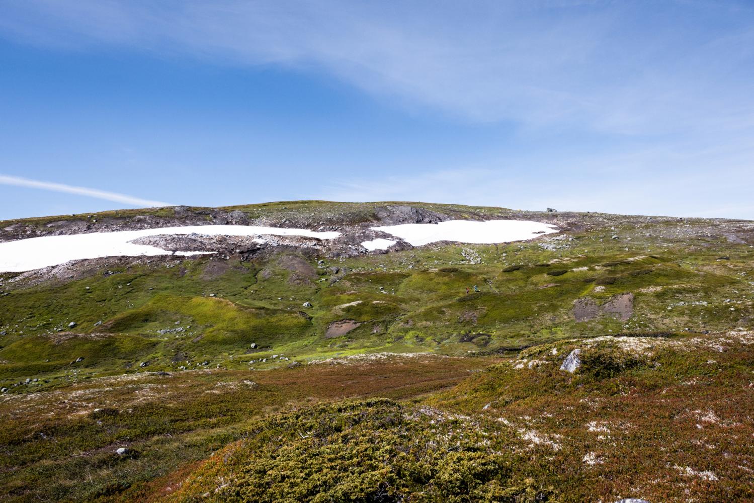
Facts about Hardangervidda National Park
- Created April 10, 1981
- The national park itself is approximately 3422 km2
- Home to Europe's largest herd of wild reindeer
- Sandfloegga is the highest peak at 1,721 meters above sea level.
- The characteristic peak Hårteigen is 1,690 meters above sea level.
National Park Center for Hardangervidda
There are two national park centers for Hardangervidda;
Hardangervidda National Park Center at Skinnarbu in Tinn - Here you can see, among other things, the award-winning interactive exhibition about nature and wild reindeer. The exhibition contains 22 interactive installations, they also offer a mini-cinema with a short film by Arne Nævra, as well as a French cave with original tools and objects made from wild reindeer bones more than 17,000 years ago in France. Here you will also find a cafe with a panoramic view. The visitor center for Hardangervidda National Park Skinnarbu is open all year round.
Hardangervidda visitor centre in Eidfjord - Here you get a modern experience center for Norwegian nature, climate and environment and an authorized visitor center for Hardangervidda National Park. You can watch the spectacular panoramic film "Fjord Fjell Foss" directed by Ivo Caprino, and experience the exciting exhibition on 3 floors with, among other things, interactive stations, rocks, fossils, aquariums and illustrations. Here you will also find a restaurant with local food. The Norwegian Nature Center Hardanger is open from April to the end of October.
At Skinnarbu you can also find Norsk Villreinsenter Sør , this is a foundation whose main purpose is to promote the conservation and sustainable management of the wild reindeer populations and the wild reindeer areas in Norway.
Plant and animal life in Hardangervidda National Park
Hardangervidda is considered the southernmost point for several arctic animal species and plants, this particularly applies to snow owls and arctic foxes. The arctic fox was almost extinct in the early 20th century because of its fur and skin, and they have since 1930 been protected. But there are many indications that it is difficult to get a stable arctic fox population on Hardangervidda. One of the reasons why the arctic fox has difficulty surviving is the ever-increasing red fox population. Only every four to five years does the population slowly recover. In the national park we also find a rich animal- and birdlife, for example golden eagles, moose, falcons, wild reindeer and beavers. Wolverine also roams along Hardangervidda National Park, but it is not known that it resides here permanently. On the quieter and unmarked paths you will find the silence needed to spot birds and wild animals. We recommend the area around Sandhaug and Tinnhølen, which is known for its varied birdlife. There are also good opportunities to see birds around Tuva Turisthytte, here a bus route is set up during summer and runs daily on weekdays.
The wild reindeer herd on Hardangervidda is Europe's largest, and one of the most important purposes of the national park was to secure the areas for the wild reindeer. Here, the wild reindeer can roam freely over large areas without particularly large obstacles. At Hardangervidda you can also find remains of the original European reindeer.
In addition, Hardangervidda is known for its many fishing lakes and waters. Something unique in a large area like the Hardangervidda is that in the west and north part the trout predominates in the many limestone-rich shallow waters, while in the east and south there are larger deposits of char.
And do not worry, there are no dangerous animals on Hardangervidda. And the animals that live here are afraid of people!
Accommodation near or in the National Park
Halne Fjellstugu located along national highway 7, they offer accommodation, experiences and delicious home-cooked food! Halne is located right at the entrance to Hardangervidda National Park and is a popular destination for many hikers.
Haugastøl is the family-run hotel in Haugastøl, they offer modern apartments, breakfast and dinner, coffee bar, bike shop, bike hire, as well as meeting rooms. They are located at the foot of the two national parks, Hardangervidda and Hallingskarvet.
Tuva Turisthytte is one of the oldest privately owned tourist cabins on Hardangervidda, it is a family business and is run by 4th generation hosts Mailiza and Sigbjørn. Delicious food and accommodation are offered here, and they are most famous for their Tuva waffles, which have been baked with the same secret recipe for 3 generations.
Finse 1222 is a hotel located at the highest point of the Bergen Railway, 1222 meters above sea level. You can only get here by train or by bicycle. The hotel has 45 hotel rooms and a fantastic restaurant that prepares food from good, local ingredients, based on Nordic cuisine. Finse is also the start of one of Norway's most beautiful bike rides, Rallarvegen.
Torsetlia Fjellstue og Hyttegrend is 30 km from the center of Geilo and in the middle of the hiking and fishing eldorado of Hardangervidda. Here there are options for accommodation, dinner, lunch and a cafe.
Hakkesetstølen Fjellstugu og Hytter is a cozy mountain lodge with all facilities. It is an excellent starting point for day trips, or a start/end point for those who want to go from cabin to cabin on Hardangervidda. At Hakkesesetstølen you can buy delicious traditional food and home baked goods.
Camping on Hardangervidda
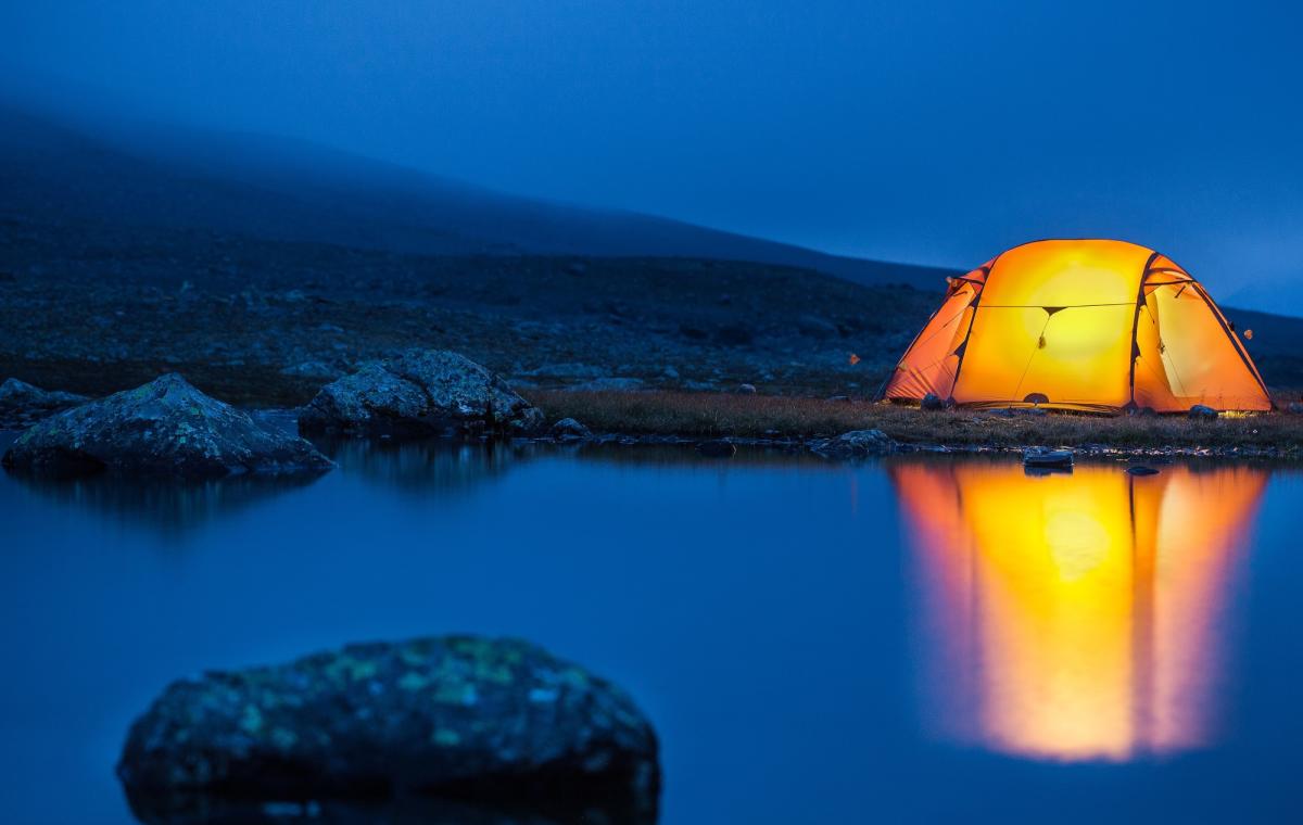
Free camping/tenting is considered to be traveling and staying in nature, and this is regulated by the Norwegian Outdoor Activities Act "Everyone is allowed to travel and stay in the outback in Norway. The right is a free public good and part of our cultural heritage." But there are some rules for accommodation in the outback:
- You can camp/sleep at least 150 meters from the nearest inhabited house or cabin.
- You can camp/sleep for up to 2 days in the same place, longer if you are on high mountains or far from built-up areas.
Show respect for each other, the animals and nature. Always take your trash with you!
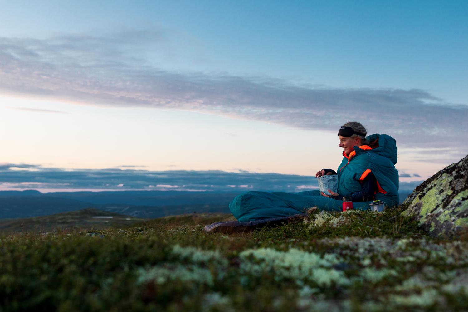
The history of Hardangervidda
It is believed that people arrived on Hardangervidda at the same time as the reindeer after the last Ice Age. Around 250 Stone Age settlements have been found and the oldest is from approx. year 6300 BC. And remains of a leather hut from approx. year 5600 BC have been found by Finnsbergvannet where the reindeer passed, 12 km southeast from Finse. People probably changed places of residence according to the reindeer's migration routes, many of the places of residence are located at bottlenecks in the terrain where the reindeer herd was squeezed together, often by lakes and water. On the plateau there are many remains of hunting facilities and animal graves, but finds show that the first people hunted with bows and arrows. They primarily hunted reindeer and grouse, but bone remains of moose have also been found.
One of the oldest and best-known roads on Hardangervidda is the Nordmannslepa, it runs from Veggli in Numedal to Eidfjord, with connections to Hol and Uvdal. The old roads were an important link between the east and the west. There are several places with names that testify that they were once places of trade, including places for sale of salt.
Hardangervidda has also been a favorite place for extraction of iron. At Møsvatnet there are remains of iron mining in 1400 different places. Iron was mined in the bogs, and iron winches were in use on Hardangervidda until the middle of the 14th century.
In the Middle Ages, there was extensive livestock farming on the Hardangervidda, where the farmers in the valleys took the animals up Hardangervidda for the summer. At the same time, the hunting also continued, on Sumtangen there are still two huts from the Middle Ages. Here there are piles of reindeer bones dating back to the 14th century. It is believed that the use of these stopped in connection with the Black Death, but was later used as a place of capture in modern times. In the 2000s, there are still 50-60,000 sheep in the summer at Hardangervidda.
Old hunting and fishing huts and old cabins lie on Hardangervidda as a memory of a time of harsh living conditions, when the resources on Hardangervidda were vital to survive.
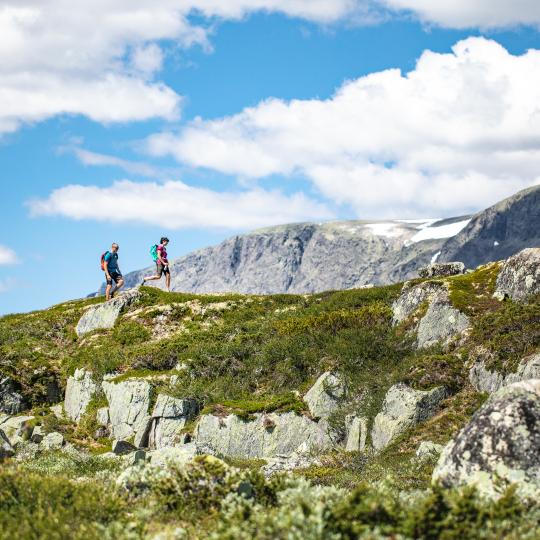
Hallingskarvet National Park
Hallingskarvet rests on the surrounding plains, with steep mountain sides to the north and south, and Folarskardnuten towering at the top, 1
This website requires javascript to be enabled in your browser. If you want to use the website without javascript enabled, try to search or use the site map for navigation.
Scenic route Hardanger
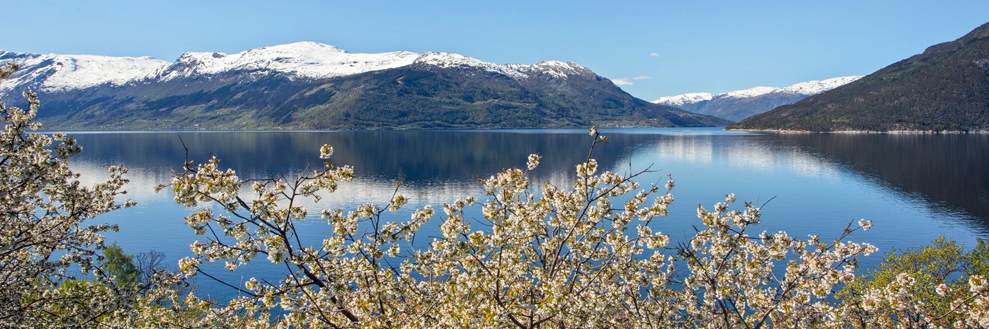
Mountains, fjords, waterfalls and glaciers
Several drives through a long-established tourism area. Waterfalls and glaciers form mighty stage sets that have attracted tourists for more than a century
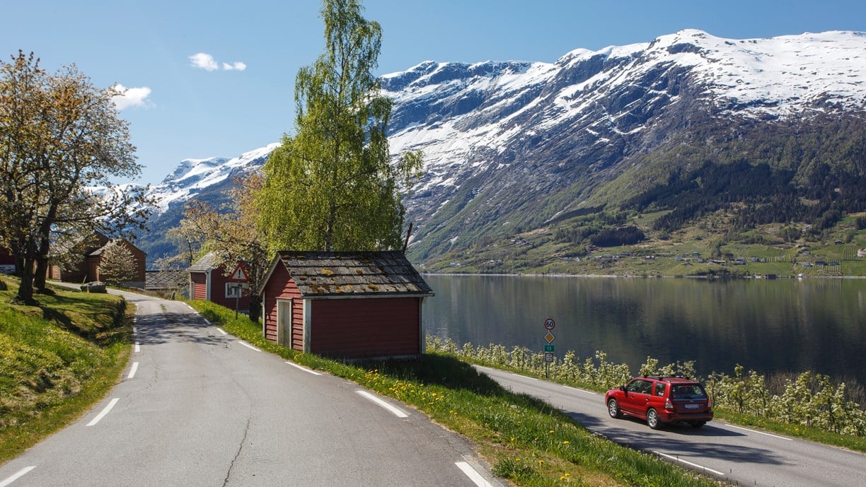
It’s no secret that Hardanger is like a picture postcard, and almost everywhere you look you will be feasting your eyes on thundering waterfalls or fruit trees in bloom.
The roads in Hardanger impose their own pace and you must adapt to the natural tempo. The road may follow a shelf along a steep-sided valley or it may literally pass through an apple orchard. The nature in the area has given rise to boat building, fruit farms and industry.
Norwegian Scenic Route Hardanger consists of four sections: Granvin - Steinsdalsfossen, Norheimsund - Tørvikbygd, Jondal – Utne, and Kinsarvik – Låtefoss.
Map of the route
Closed for the winter, rest areas and viewpoints, skjervsfossen.
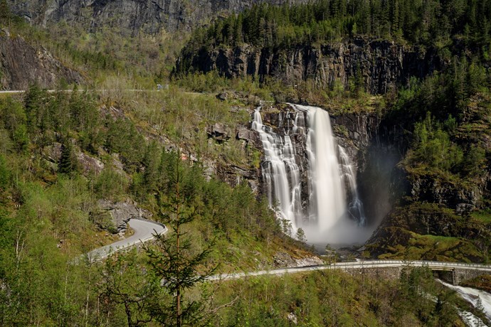
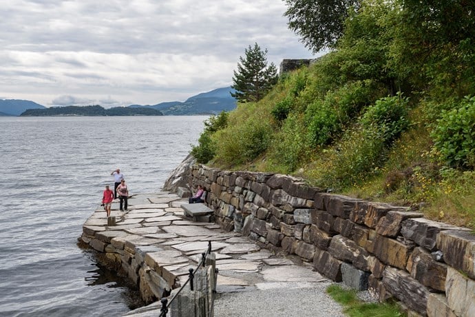
Tyrvefjøra
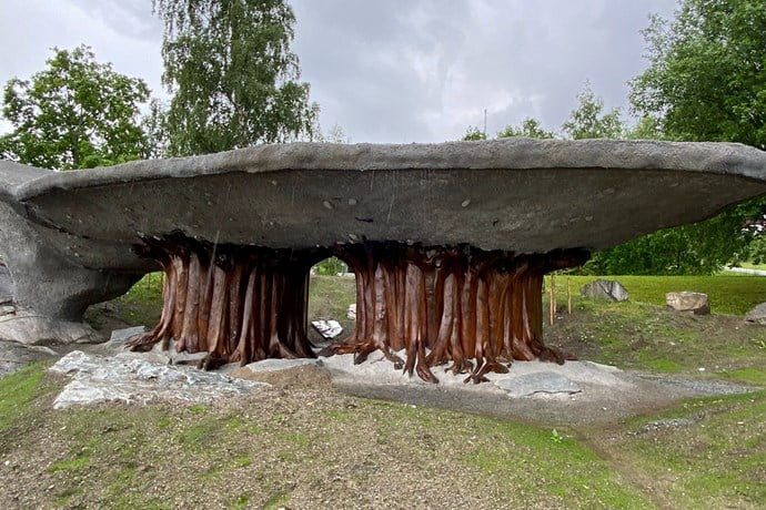
Steinstøberget
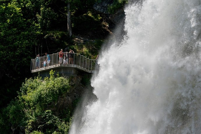
Steinsdalsfossen
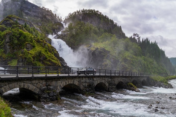
Låtefossen
Travel information
Norwegian Scenic Route Hardanger consists of four stretches: Granvin - Steinsdalsfossen [79] [49], Norheimsund - Tørvikbygd [49], Jondal - Utne [550], and Kinsarvik - Låtefoss. A ferry operates from Tørvikbygd - Jondal and from Kinsarvik - Utne - Kvandal (click on the ferry icon for timetable). This route is open for traffic throughout the year.
For cyclists: Beware of heavy traffic during the summer months. Avoid tunnels on the road from Kinsarvik to Odda, and onwards to Låtefossen - instead ride on the "outside".
Traffic and road information
Telephone +47 815 48 991
Traffic alerts in map (Norwegian only) Traffic alerts in telephone app (Norwegian only)
Map information
Gpx file download for gps and navigation app. In this file, the direction of travel is from Låtefoss to Granvin. Gpx files for all Scenic Routes . Any alternative driving pattern must be adapted by the users themselves.
Information
Emptying toilets from motorhomes and caravans is not permitted in our toilets. The facility is not designed for such use. The nearest dump stations are at Kinsarvik, Odda and Norheimsund.
Winter information
Parts of road 13 (Skjervsvegen) are closed in winter. During that period, there is no access to Skjervsfossen.
Experiences
For all lovers of waterfalls, Hardanger is the perfect destination. Hardanger is framed by large waterfalls. Steinsdalsfossen, Vøringsfossen, Skjervsfossen, Låtefossen and Furebergfossen are all different, but they all have the same hypnotic power.
There are plenty of hiking options, and many of them will give you a panoramic view of the fiord arms in the area. The best-known hike is the highly challenging walk to Trolltunga, but Hardanger also offers many other great hikes, without the same crowds. A walk to Buarbreen gives you a close look at the glacier, but also lets you experience one of the beautiful valleys in Western Norway.
In Hardanger, fruit farming has taken place since the 14th century, and industries such as boat building and quarrying have been important to the local community. Artists and tourists have always been inspired by the beautiful scenery.
Useful links
VISITNORWAY
The official travel guide to Norway
Map with information on sleep, eat and do
Ferry routes and timetables (Norwegian)
Entur - Travel planner
Travel by bus, train, ferry, metro and plane
Norwegian Scenic Routes nearby
Aurlandsfjellet.
From fjord to fjord across a barren mountain noticeably marked by the snow, and with the view of Aurdalsfjorden as the grand finale.
Hardangervidda
A journey of contrasts, from vast mountain plateaus to the fiordscapes of Western Norway.
A drive in the borderland between the archipelago and the highland moors, from Lysefjorden to Sauda and over the mountain pass to Røldal.
The 18 Norwegian Scenic Routes
Norwegian Scenic Routes are roads that run through unique Norwegian nature. Along the roads you will find artworks, viewpoints and rest areas with innovative architecture in beautiful landscapes.
View all Scenic Routes
Hardangervidda National park from the North East and Geilo
- National park
- Hiking trail
Hardangervidda National park lay in the municipality Buskerud, Telemark and Hordaland, and is North-Europa biggest mountain plateau. Most of it is flat widths, but at the west side of the Hardangervidda is it more hilly. On he plateau it is big pissibles for hiking, fishing and hunting. You can get on the Hardangervidda all year round. In the winter the tracks are marked with sticks (just when the DNT cabin in the end is open). In the summer (normally starts in the end of June), it is possible to hike on the Hardangervidda. (Take a look at www. ut.no for more information when the different DNT cabin are open/staffed) Do you need the DNT key? You can get it at the Geilo tourist information.
Destination
Type of experience
Best time to visit
Nearby stations
- Geilo Station
- Hol Station
Together, Ravlling and Visit Norway encourage travel in Norway.
Click here to find out more about our partnerships
Join Ravlling's Conscious Travel movement
Travel can be a force for good. Small steps have a great impact. So what would work for you? Let's find out!
Ravlling's Conscious experience highlights

Uncover history and heritage at Blenheim Palace

Bear watching in Finland

Valkyrie craft boatmakers

Exploring the village of Húsavík, Iceland

Hiking on the Folgefonna glacier

Canoe tour on Lake Koitere in Finland

Taste of the Faroe Islands

Soothing nature baths of North Iceland
Get inspired.
Browse around the most wonderful green travel destinations, stays and experiences. Booking is easy!
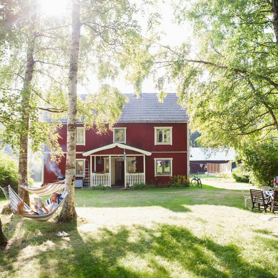
Unique cabins in outdoor Sweden
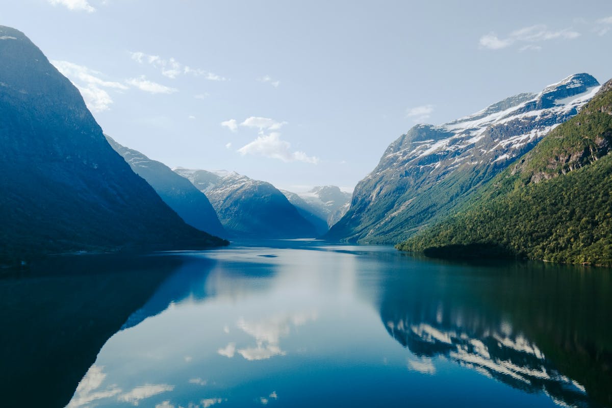
Stunning Fjords of Norway
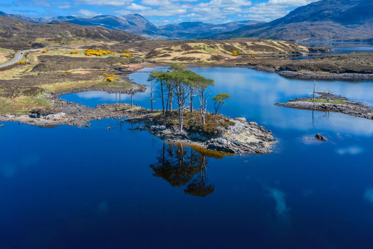
Impressive natural heritage in the Scottish highlands
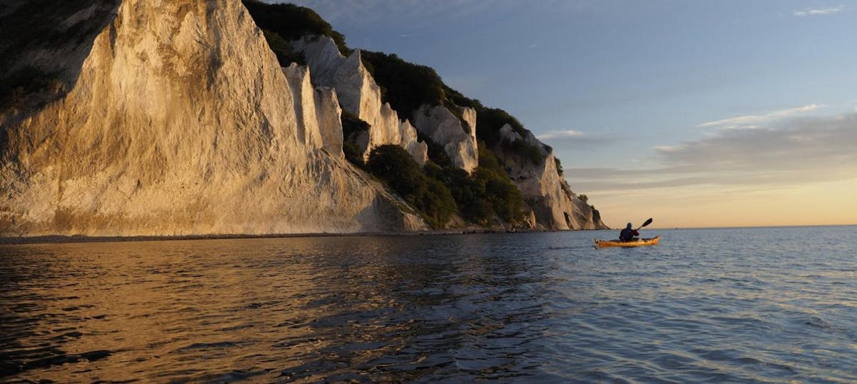
Endless horizons on the coast of Denmark
Glaciers and Volcanos in rugged Iceland
Knights & castles in historic England
Engage with the local people of Ireland

Relaxing in a local bed & breakfast in Wales
Ravlling is a proud partner of almost 100 local tourist offices

Hardanger National Tourist Route
CH_Visitnorway.com
- Map & transport
Hardanger National Tourist Route
You will find The Hardanger National Tourist Route is a beautiful 158-kilometre-long stretch of road.
Located east of Bergen , in the county of Hordaland in Fjord Norway. Norheimsund, Kinsarvik, Jondal, Granvin and Odda are the five regional centres in the area.
Access to the route
National Tourist Route Hardanger is open for traffic throughout the year. The section across the Hardangervidda mountain plateau may be closed during winter if the weather is terrible. The perfect holiday would be to drive in springtime at the height of the fruit blossoming season. By Hardanger National Road, you will find a lot of highlights. Waterfalls exert a magnetic attraction on us, and Hardanger is the perfect destination for waterfall enthusiasts. Steinsdalsfossen, Vøringsfossen, Skjervefossen, Låtefoss and Furebergfossen are all different, but all can hypnotise us.
Nature rest areas
When you decide to experience the Hardanger National Tourist Route, you also have the opportunity to stop by beautiful nature-placed rest areas like Hereiane, Steinstøberget and Hesthamar.
Explore more
- See more about Hardanger Tourist Route
Getting there
Find routes to this destination.
Coordinates
- Lattitude: 60.069176
- Longitude: 6.546235
Amazing Views in Norway
The Pulpit Rock
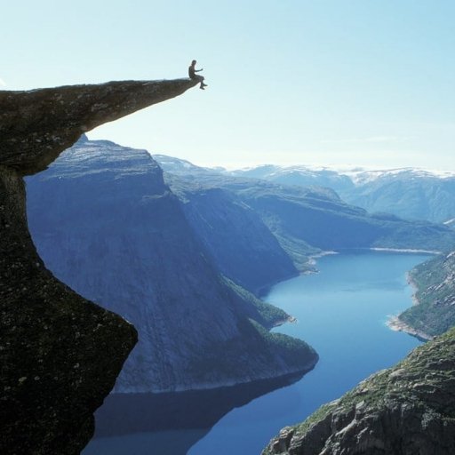
Geiranger-Trollstigen
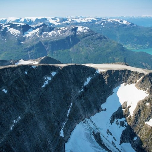
Jostedalsbreen National Park
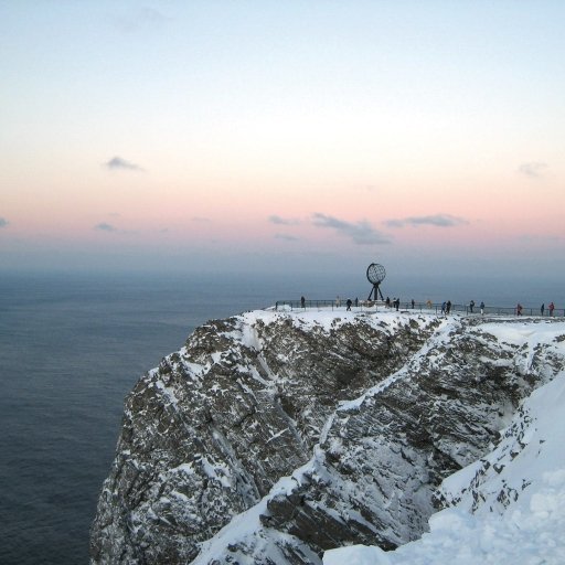
Mount Fløyen in Bergen
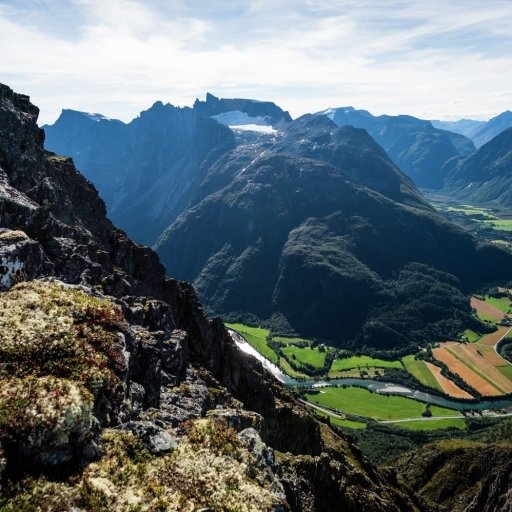
Romsdalseggen
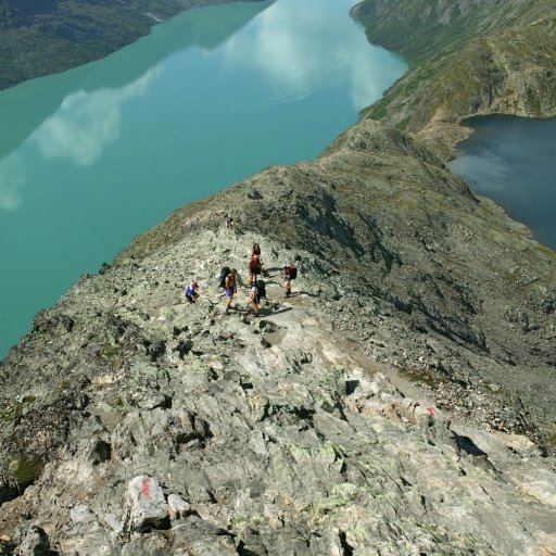
Besseggen Ridge Hiking Trail

Galdhøpiggen Hiking
National parks in fjord norway.
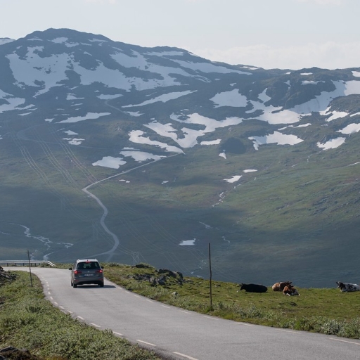
Jotunheimen National Park
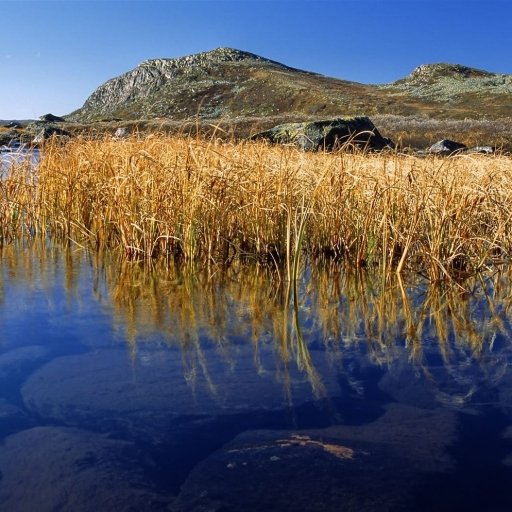
Hardangervidda National Park
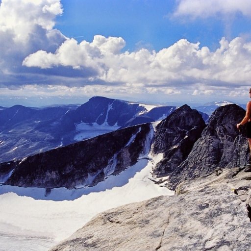
Dovrefjell-Sunndalsfjella Nasjonalpark
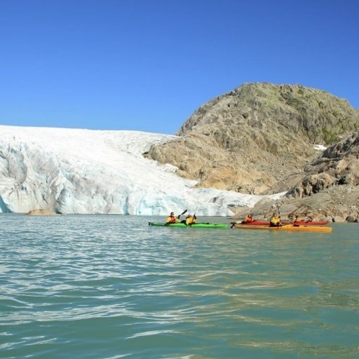
Folgefonna National Park

Odda Valley Waterfalls
- Nordic Countries
- Inspiration
- Heritage & Culture
- Nature & Activities
- Design & Shopping
- Nordic Vikings
- Seasons & Weather
- Visitnordic
- Privacy Policy
- Terms of Use
- Become a Partner


IMAGES
VIDEO
COMMENTS
Along Route 7 at the Hardangervidda lie Liseth Pensjonat og Hytter, Garen Camping, the mountain lodges Dyranut Fjellstova, Dyranut Turisthytta and Halne Fjellstugu. By lake Tinnhølen you'll find Trondsbu Turisthytte and a few hours hike from the road lie the tourist huts Rauhelleren and Sandhaug inside the Hardangervidda national park.
The Hardangervidda National Park. The Hardangervidda National Park lies just east of Bergen in the centre of southern Norway, and its enormous, raised plateau offers incredible scenery, countless outdoor adventures and a home for Europe's biggest population of Reindeer. Norway's largest national park is comfortably one of its most diverse.
Hardangervidda National Park Centre is located at Skinnarbu on the shores of lake Møsvatn in the southeast corner of the park. Route 37 gets you there, where you'll find an interactive exhibition about wild reindeer, among other things. On the opposite side of the park, the Norwegian Nature Centre is an astonishing 224km (139 miles) drive ...
Hardangervidda National Park. Hardangervidda National Park. Hardangervidda National Park (3,422 km2) is the biggest park in mainland Norway. It is Northern Europe's largest mountain plateau and has an average altitude of 1,100-1,200 meters. It stretches from Numedal and Uvdal in the east to Ullensvang in the west.
Maps: Hardangervidda West 1:100.000, or Hardangervidda West 1:50.000 and Haukelifhjell 1:50.000. Buy hiking maps at the local tourist offices, or order a map online, or by e-mailing the Norwegian Trekking Association at [email protected]. This is a hike in the Norwegian high mountains. What you need to know before hiking in Hardangervidda:
It spans from Numedal and Uvdal in the east and Røvelseggi and Ullensvang in the west across the Hardanger mountain plateau (Hardangervidda). Designated as a national park in 1981, today it serves as a popular tourist destination for activities such as hiking, climbing, fishing, and cross-country skiing.
Hardangervidda is Europe's largest high mountain plateau, covering about 8,600 km2 - almost half a size larger than Finnmarksvidda. The inner core of Hardangervidda is one of Scandinavia's and Europe's largest national parks, excluding Svalbard. Read more about Hardangervidda National Park. Visit Hardangervidda Nasjonalparksenter
Location of the Hardangervidda national park in Norway. Vidde landscape near Velurenuten. Vidda means wide, open plateau in Norwegian. The endless highland plateau of Hardangervidda is about 8,500 km², which is a fifth of the size of the Netherlands and three times the size of Luxembourg. The national park covers 3,422 km² (1,321 square miles).
Along Route 7 at the Hardangervidda lie Liseth Pensjonat og Hytter, Garen Camping, the mountain lodges Dyranut Fjellstova, Dyranut Turisthytta and Halne Fjellstugu. By lake Tinnhølen you'll find Trondsbu Turisthytte and a few hours hike from the road lie the tourist huts Rauhelleren and Sandhaug inside the Hardangervidda national park.
Hardangervidda National Park (English: Hardanger Plateau National Park, Norwegian: Hardangervidda nasjonalpark), at 3,422 square kilometres (1,321 sq mi), is Norway's largest national park.It spans from Numedal and Uvdal in the east and Røvelseggi and Ullensvang in the west across the Hardanger mountain plateau (Hardangervidda).Designated as a national park in 1981, today it serves as a ...
Travel information. Length. 67 km. MASL. 0 - 1250. Norwegian Scenic Route Hardangervidda runs between Eidfjord to Haugastøl [7]. This route is open for traffic throughout the year. For cyclists: The route has a natural starting point at Haugastøl. Beware of heavy summer traffic, with both light and heavy vehicles.
Hardangervidda National Park is the largest national park in Norway. This vast mountain plateau offers excellent hiking opportunities for both seasoned hikers and recreational hikers. The national park has a wide network of trails for summer hikes and winter skiing. There are many mountain lodges along route 7 and into the wilderness. There is a short distance between the high mountain plateau ...
Hardangervidda is a popular tourist and leisure destination, and it is ideal for many outdoor activities. Geography and geology. The plateau is the largest peneplain (eroded plain) in Europe, covering an area of about 6,500 km 2 (2,500 sq mi) at an average elevation of 1,100 metres (3,600 ft). The highest point on the plateau is the ...
The Hardangervidda National Park Centre is located at Skinnarbu, on the road 37 between Rjukan and Rauland.The National Park Center has received the "Travellers Choice" award from Tripadvisor for the 8th year in a row. Internationally awarded interactive exhibition about the national park and the wild reindeer, available in 10 languages.
The Norwegian Scenic Route Hardangervidda takes you from the high mountain plateau Hardangervidda, at 1250 meters, to the shore of the Hardangerfjord. The 67-kilometer long route runs between Haugastøl and Eidfjord (road 7) and leads partly through the Hardangervidda National Park. The drive offers impressive scenic contrasts, and you should ...
The beautiful hike is around 4.3 km long and goes along the perimeter of Hardangervidda National Park. Foto: Thomas Rasmus Skaug / VisitNorway.com. Top 5 attractions along the trail. Heddal Stave Church Heddal Stave Church - the starting point of the Hardangervidda National Park route - lies about one hour's drive east of Gaustablikk ...
General information about scenic route Hardangervidda /. The tourist road over the mountain plateau Hardangervidda is 41 miles (67 kilometers) long and runs from Haugastøl to Eidfjord. Along the way you pass vast plateaus, beautiful valleys, mountain lakes Sysenvatnet and Eidfjordvatnet and the famous waterfall Vøringsfossen.
Hardangervidda National Park is the largest national park in mainland Norway, it is 3422 km2 and extends beyond counties of Hordaland, Viken and Telemark. ... Fishing licenses can be bought at the Tourist Information Center and the sports shops in Geilo, but also at most tourist cabins. There are also a number of private waters, usually you can ...
Be especially aware of fog in Hardangervidda, which is not a problem in lower areas. Buy hiking maps at the local tourist offices, or order a map online , or by e-mailing the Norwegian Trekking Association at [email protected] can also print you own topographical map (for free) in scale 1:25.000 or 1:50.000 by using an online map tool .
Norwegian Scenic Route Hardanger consists of four stretches: Granvin - Steinsdalsfossen [79] [49], Norheimsund - Tørvikbygd [49], Jondal - Utne [550], and Kinsarvik - Låtefoss. A ferry operates from Tørvikbygd - Jondal and from Kinsarvik - Utne - Kvandal (click on the ferry icon for timetable). This route is open for traffic throughout the year.
You can get it at the Geilo tourist information. Hardangervidda National park lay in the municipality Buskerud, Telemark and Hordaland, and is North-Europa biggest mountain plateau. Most of it is flat widths, but at the west side of the Hardangervidda is it more hilly. On he plateau it is big pissibles for hiking, fishing and hunting.
Map & transport. Facilities. Hardanger National Tourist Route. You will find The Hardanger National Tourist Route is a beautiful 158-kilometre-long stretch of road. Located east of Bergen, in the county of Hordaland in Fjord Norway. Norheimsund, Kinsarvik, Jondal, Granvin and Odda are the five regional centres in the area.
Geilo Tourist Information sells keys and maps. You will find the tourist information at Reiselivssentret in the center of Geilo. +47 32 09 59 00 TRANSPORT The best thing about starting from Geilo is easy access to transport. ... Check conditions on the website of DNT, or hear directly at one of the tourist cabins on the Hardangervidda where you ...